Illustrated by Matthew Moran and Suzannah Moran
The mid-Atlantic area of Maryland, Delaware, and Washington, D.C. is known many things, such as being the First State (Delaware), home to our nation’s capital or the birthplace of our national anthem (Maryland), but it is also the home of some incredible geologic features. From the Chesapeake Bay to Assateague Island National Seashore to Catoctin Mountain Park, readers will learn about a diverse array of rocks and landforms assembled during more than 1 billion years of geologic history.
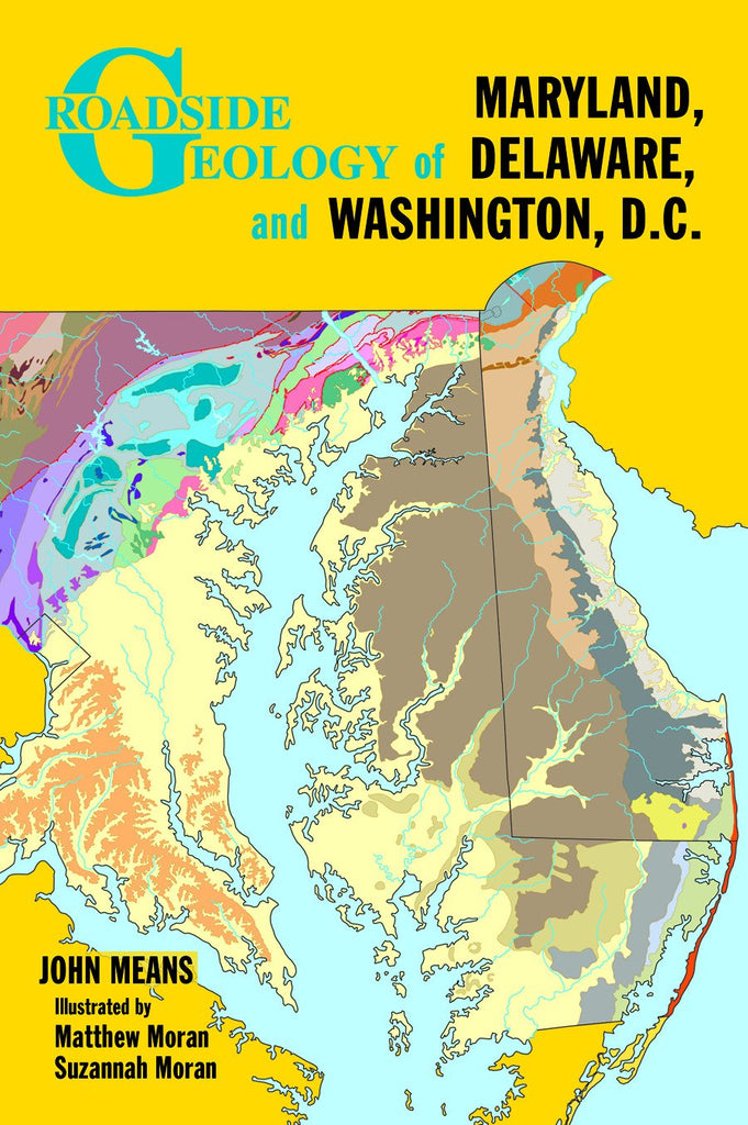
From the sandstone ridges and shale and limestone valleys of western Maryland to the sand dunes and tidal estuaries on Delaware’s coast, Roadside Geology of Maryland, Delaware, and Washington, D.C., steers you to some of the best geologic features found inside and outside the Beltway. Thirty-five road guides discuss the landforms and rocks visible from a car window, along bike paths, and at nearby waysides and parks, including Chesapeake & Ohio Canal National Historic Park, Assateague Island National Seashore, Rock Creek Park, and Cape Henlopen State Park. With this book as your guide, find out how the sixth largest impact crater on earth helped shape Chesapeake Bay; discover what moved the rocks at Devils Racecourse in Catoctin Mountain Park; and learn how early settlers put the geology to work, locating major ports where deep tidal rivers issued from mill-friendly, rocky streams.
369 pages, 6 x 9, paper
Item 238, ISBN 978-0-87842-570-9
Geological Society of America